


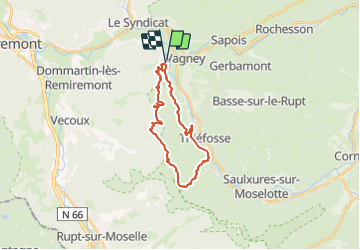

6.3 km | 8.9 km-effort


User


FREE GPS app for hiking
 SityTrail
IGN / Geographical institutes
SityTrail World
The world is yours!
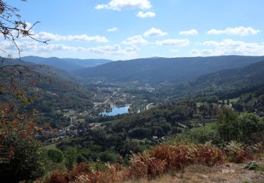
Trail Walking of 21 km to be discovered at Grand Est, Vosges, Le Syndicat. This trail is proposed by DanielROLLET.
2023 09 02 - 9h20 à 17h40 - avec Marie
Temps beau et chaud mais parcours très abrité
Départ/retour ancienne gare de Nol sur la voie verte
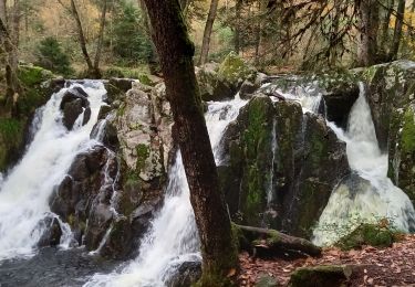
Grotte du Loup > Col de Xiard > Le Mainqueyon, Gorges du Crosery, Balcon du Solem.
Gros problème au départ, impossible de trouver le sentier (anneau vert) qui monte sur la route forestière en passant par la cote 453 et en venant de l'impasse de Cheneau. Pris un raccourci à la boussole, perdu au moins 30mn
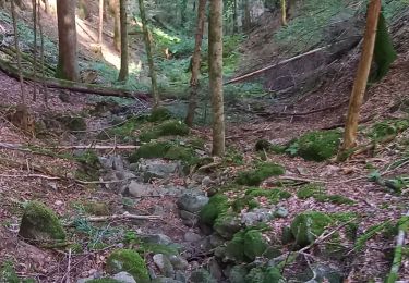
Autre perte de temps : la descente de la côte de Fraine qui devient très technique dans sa seconde moitié.
Circuit initial raccourci : pas fait le Haut du Diroux au-dessus de Thiéfosse et Saulxures.

Walking

Walking

Walking

Walking
Walking
Walking
Walking
Walking
Walking